This is a trip/site report for Luye, Taiwan, by Boris Smolinski
Description
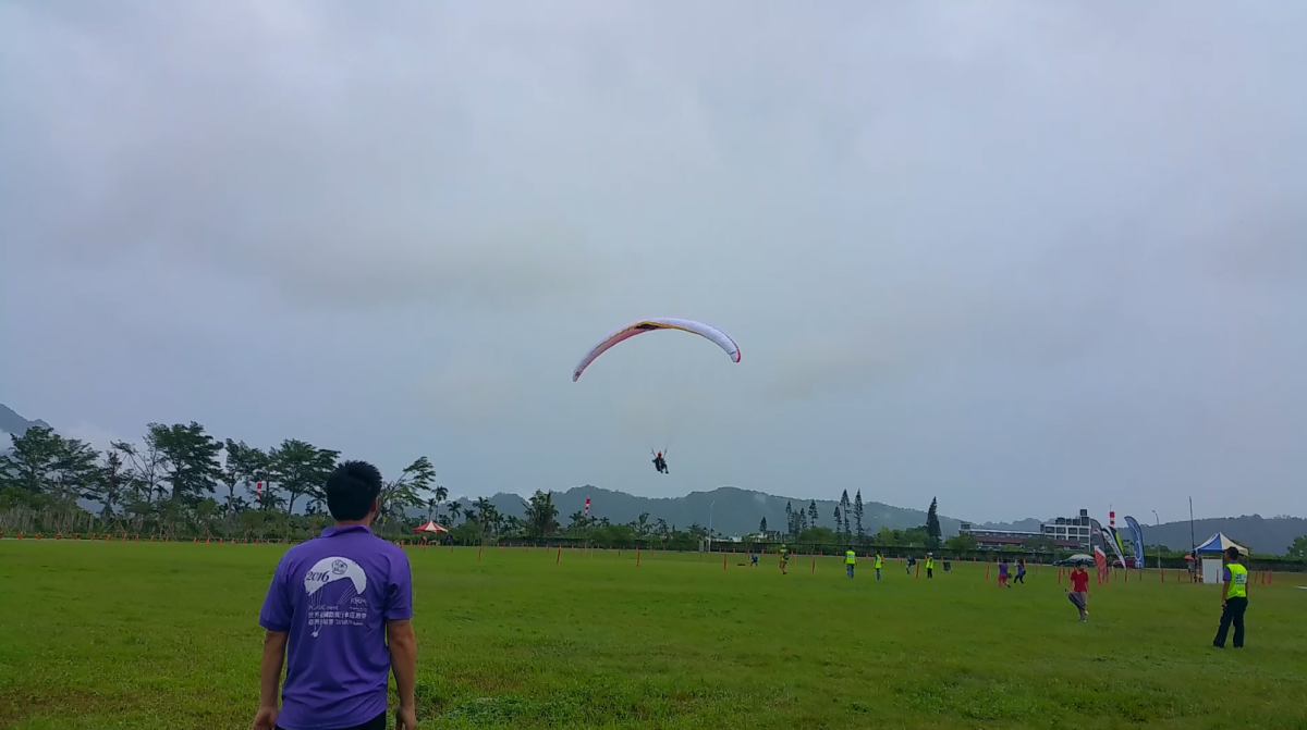
The base of the paragliding community is on Luye Highlands, a hill with a flattish top, large enough for ample paragliding landing space and host to the Hot Air Balloon festival that takes place here during end of September / beginning of August.
The main season is from May until October. The other months experience strong winds which are not suitable for paragliding. There’s a good XC potential with higher hills directly west of the main takeoff. The paragliding season coincides with Typhoon season which will likely lead to a few non-flying days due to high winds and rain.
The lower takeoffs are only used with a southernly winds, which allow to soar the Luye Highlands ridge.
There’s a professional tandem paragliding outfit stationed on Luye Highlands. Reach out to them for information on the area. Rides up to Luye Highland to Taiping San cost TWD 200. Make sure to bring proof of your paragliding license, mine was checked thoroughly.
The locals want you to take a radio on your flight. They use frequency 145.960 MHz. In principle, you’ll need a Taiwan radio license to use a radio.
Other Details

Contacts
Soar Paragliding
Contact Numbers: +886939551390, +8860935735669, +886963289908
Map Number: 6
Coordinates: 22.914832, 121.121572
Waypoint: https://goo.gl/maps/tMWpfwa5DXzwKxdM6
Takeoffs
Name: Taiping San
Altitude: 900 m AMSL
Takeoff Directions: N, NE, E, SE, S
Difficulty: Easy
Map Number: 1
Coordinates: 22.928337, 121.100151
Waypoint: https://goo.gl/maps/pSKHRoj9pHa9pwP9A
Comments: Ride from Luye Highlands cost TWD 200 with the local tandem pilots. Toplanding possible.
Name: Luye SW
Altitude: 350 m AMSL
Takeoff Directions: SW
Difficulty: Medium (easy with good wind)
Map Number: 2
Coordinates: 22.913089, 121.118998
Waypoint: https://goo.gl/maps/tRoxc55AiDxxupt78
Name: Luye SE
Altitude: 350 m AMSL
Takeoff Directions: S, SE
Difficulty: Medium (easy with good wind)
Map Number: 3
Coordinates: 22.912763, 121.119902
Waypoint: https://goo.gl/maps/on6vzHVx82kzcUuZ6
Landings
Name: Luye Highlands
Altitude: 350 m AMSL
Landing directions: 360°
Difficulty: Easy
Map Number: 4
Coordinates: 22.915250, 121.120617
Waypoint: https://goo.gl/maps/W9P37o1cn7HFyJeJ6
Comments: Landing on the highland will leave you in no significant lee situations. The ground is gently sloped, but nothing to be alarmed about. The landing is right next to the Tandem Paragliding business. There are restaurants and coffee shops nearby for a snack.
Name: Longtian Village
Altitude: 200 m AMSL
Landing Directions: S, SW, W, NW, N
Difficulty: Easy
Map Number: 5
Coordinates: 22.907891, 121.119272
Waypoint: https://goo.gl/maps/QrJSNQnCLUHXxdVh6
Comments: While landing in E direction is in principle possible, it is less recommended as an E-Wind will likely lead to turbulences on this landing field.

